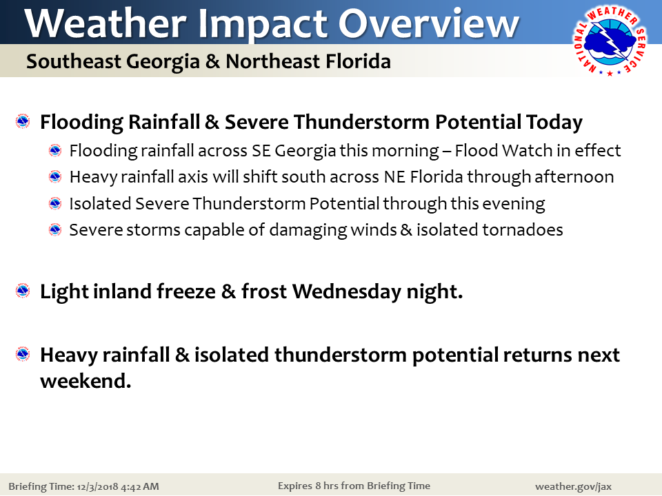
Flooding Rainfall Potential & Isolated Severe Storms Today
Overview: Flooding Rainfall & Isolated Severe Storms Today, Cooler and Dry Tuesday
A slow-moving band of localized heavy rainfall with waves of embedded thunderstorms will gradually drift southward today, from over SE Georgia this morning, to over NE Florida into the afternoon. Additional storms will move inland from the Gulf of Mexico this morning and impact NE Florida, ahead of the heavier band of rainfall. Drier air will filter over SE GA this evening ending significant rainfall by midnight, while rainfall will be slower to clear NE Florida through sunrise Tuesday.
Weather Impacts
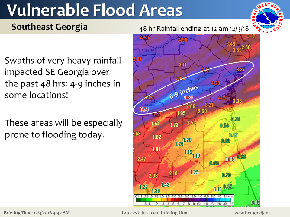
- Flooding rainfall potential through this evening, especially over SE GA where some areas received 4-9 inches of rainfall over the weekend (Flood Watch in effect)
- Isolated severe storms capable of producing tornadoes and gusty winds near 60 mph.
- River Flooding focused across SE Georgia basins and the Suwannee River Valley
Please refer to our weather briefing for more details (a few slides below for your internal briefings):


We appreciate your partnerships.
–Angie Enyedi
Important:
If you are in need of a weather briefing, including support for a local wildfire, please immediately call our on-duty operations team (904) 741-4411 ext. 1

