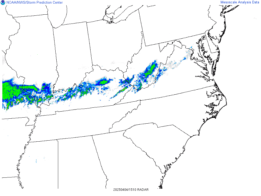
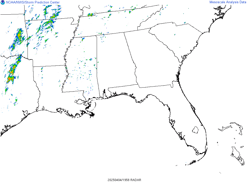
Significant Severe Weather Including Widespread Damaging Winds Of 70 to 80 Mph & Tornadoes Are Expected This Afternoon Into This Evening Across Southern Virginia, North Carolina & South Carolina Piedmont & Coastal Plain, Southeastern Georgia & The Northern Florida Peninsula
This weather report taken from Crown Weather Services
Summary: Significant severe thunderstorms that will have considerable potential for producing damaging wind gusts of up to 70 to 80 mph and a few tornadoes are expected across Southern Virginia, the North & South Carolina Piedmont and Coastal Plain, Southeastern Georgia and the Northern Florida Peninsula.
Details: A squall line is expected to push eastward today into this evening and will intensify in strength by midday becoming a widespread damaging wind producer, especially across southern Virginia and North and South Carolina this afternoon into this evening.
So, during this morning, the squall line will gradually intensify in strength as it moves eastward reaching an area from western North Carolina through northwestern South Carolina, central and southern Georgia into the extreme eastern part of the Florida Panhandle and parts of north Florida around Perry, Cross City and Gainesville by midday today. The squall line this morning will be capable of producing damaging wind gusts of up to 70 mph.
At the same time, an influx of warm and humid air will spread across the Carolina coastal plain into the Piedmont leading to a moderately unstable atmosphere. Thunderstorms now moving onshore across the South Carolina coastal plain will strengthen and become supercellular in nature as they push into southern and central North Carolina by late this morning. Some of these supercell severe thunderstorms may reach southern Virginia by midday. Damaging wind gusts and a risk for tornadoes will be a threat.
During this afternoon, supercell severe thunderstorms will continue pushing into the rest of Virginia while the northern part of the squall line pushes northeastward across South Carolina, North Carolina and Virginia this afternoon into this evening reaching the coastal plain around midnight tonight. The combination of an unstable atmosphere and strong low-level wind shear means that this squall line and any supercell storms will be quite intense with widespread damaging winds of 70 to 80 mph and embedded rain-wrapped tornadoes.
The southern part of the squall line is expected to reach the coastal plain of Georgia by early afternoon and push across the northern Florida Peninsula reaching a Tampa to Jacksonville line by 3 pm and then reaching a Fort Myers to Orlando to Daytona Beach line by about 5 pm this afternoon. Strong wind gusts of up to 50 to 70 mph will be the main threat with this squall line. This line of thunderstorms will slowly weaken as it pushes across south Florida this evening and finally offshore around midnight tonight.
For Those Of You In Southern Virginia, North Carolina, South Carolina, Southern & Southeastern Georgia & The Northern Florida Peninsula – It is extremely important that you have multiple ways of receiving tornado and severe thunderstorm warnings. If you have a NOAA Weather Radio, make sure its set to tone and alert you of any warnings. If you have a smartphone, make sure WEA alerts are enabled. Finally, identify locations in your place of residence that are the lowest and most interior, so that you can protect yourself during a warning.


