Beryl Has Become A Hurricane
Beryl Has Become A Hurricane & Has The Potential To Bring Tropical Storm Conditions To The Central Lesser Antilles On Sunday Night; Invest 96-L Has The Potential To Become A Tropical Storm Near The North Carolina Coast Between Sunday & Tuesday & All Interests Along The North Carolina & South Carolina Coasts Should Closely Monitor The Progress Of Invest 96-L
Hurricane Beryl:
5 am EDT/4 am CDT Statistics:
Location: 10.6 North Latitude, 45.1 West Longitude or about 1140 miles to the east-southeast of the Lesser Antilles.
Maximum Winds: 75 mph.
Minimum Central Pressure: 995 Millibars or 29.39 Inches.
Forward Movement: West at a forward speed of 14 mph.
Beryl continues to strengthen this morning with deep convection noted around the core of the storm. In addition, satellite imagery indicates that an eye has popped out from time to time over the past 12 hours or so. Based on the satellite presentation, it appears that Beryl is a very tiny hurricane with 75 mph winds this morning.
The wind shear values around Beryl remain very low and this favorable environment is likely to cause Beryl to continue strengthening today. In fact, it is not out of the realm of possibilities that Beryl could strengthen to Category 2 intensity before the wind shear begins to increase around the storm by late Saturday. Once the increasing westerly wind shear impacts Beryl, the storm is likely to weaken. How much it weakens remains to be seen, but the latest model guidance suite, including the GFS and UKMET models, now forecast Beryl to still be a tropical storm when it moves through the central Lesser Antilles on Sunday night. Given the very small size of Beryl, rapid weakening is quite possible once the unfavorable environmental conditions impacts the storm. On the other hand, the overall atmosphere may still be very humid and unstable as the storm approaches the Lesser Antilles and thus it may be able to maintain some of its strength in the face of increasing wind shear.
For Everyone Across The Central Lesser Antilles From St. Lucia To Antigua: Because of the uncertainty as to whether Beryl will still be a tropical storm or not when it reaches the central Lesser Antilles on Sunday, I urge everyone across the central Lesser Antilles to closely monitor the progress of this storm.
At this point, I think that there is increasing evidence in the data that suggests Beryl will still be a tropical storm when it reaches the Lesser Antilles on Sunday night.
Because of this, I’m forecasting tropical storm conditions with wind gusts of up to 60-65 mph along with heavy rain bands and very rough seas to impact the islands of St. Lucia, Martinique, Dominica, Guadeloupe and possibly Antigua starting late Sunday afternoon and continuing through Sunday night before ending on Monday morning.
The squally weather associated with a weakening Beryl is forecast to impact parts of the Virgin Islands, parts of Puerto Rico and parts of Hispaniola on Monday.
We are keeping a very close eye on the progress of Beryl and will continue to have updates for you as conditions warrant.


Model Track Forecast For Beryl:


Model Intensity Forecast For Beryl:

Satellite Imagery Of Beryl:


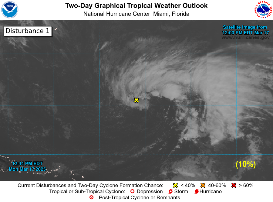
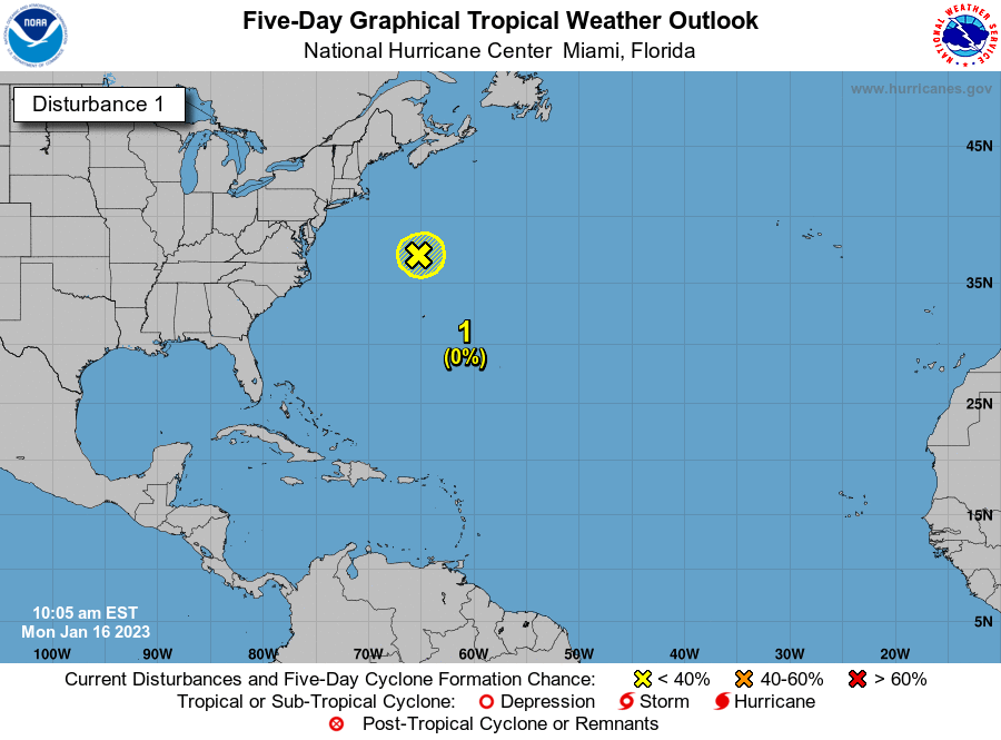
Invest 96-L Located About Halfway Between The Southeastern United States & Bermuda: We are watching Invest 96-L with an increasing amount of interest as there is the possibility that it could develop into a tropical storm very near the North Carolina coast late this weekend or early next week.
Currently, Invest 96-L is a well-defined low pressure system that is located about halfway between the southeastern United States and Bermuda. Satellite imagery indicates that there is disorganized shower and thunderstorm activity occurring offshore of the US Southeast coast. The environmental conditions around this system are favorable for development and the burst of deeper convection that is occurring about 450 miles due east of Jacksonville, Florida will be monitored for persistence and organization.
The Model Guidance has trended both much stronger with the intensity of Invest 96-L and much closer to the North Carolina coast as compared to forecasts 24 hours ago.
The GFS model guidance forecasts this system to become a tropical storm by Monday or Tuesday very near the coast of southeastern North Carolina. From there, the GFS model forecasts Invest 96-L to move very close to, if not right over the outer banks of North Carolina as a hurricane on Wednesday. After that, the GFS model guidance forecasts a northeasterly track taking this system very near Cape Cod, Massachusetts on Thursday and into eastern Maine next Friday.
The Canadian model guidance is further offshore of the North Carolina coast on Sunday and Monday, but still forecasts it to become a tropical storm.
The European model guidance waits to develop Invest 96-L into a tropical storm until about Wednesday when its offshore of the North Carolina coast. From there, the European model forecasts a northeasterly track and brings this system into eastern Nova Scotia as a tropical storm next Friday.
The UKMET model guidance is actually closer to the GFS model in both track and intensity than the European model. The UKMET model forecasts Invest 96-L to become a tropical storm by Monday and forecasts it to move very near the outer banks of North Carolina on Tuesday. From there, the UKMET model forecasts this system to move to the northeast and east-northeast and pass offshore of southeastern New England around Wednesday as a hurricane.
The GFS ensemble model guidance members have two model clusters with the track of Invest 96-L. The first model cluster brings the system right across eastern North Carolina and the outer banks of North Carolina on about Wednesday. The second model cluster keeps the system about 250-300 miles offshore of the North Carolina coast.
Here Are My Thoughts: Needless to say, the Tropical Atlantic has been full of surprises over the last couple of days with both Invest 96-L and also Beryl.
I think that it is very likely that Invest 96-L will develop into first a tropical depression and then a tropical storm by about the Sunday to Monday time frame. I would put the chances of this occurring at about 90-95 percent.
Invest 96-L could end up surprising many as the environmental conditions will be favorable for strengthening as it moves slowly over the Gulf Stream ocean waters this weekend into the first half of next week. In fact, some of the intensity guidance forecast that this system will be a hurricane by about Tuesday.
What is concerning is that this system may move very close to, if not right over the outer banks of North Carolina or extreme eastern North Carolina late Tuesday or during the day on Wednesday. So, if the intensity guidance is correct, then this system may be a hurricane at that point. How close this system gets to the North Carolina coast is something that needs to be watched very closely, especially with the westward trends in all of the model guidance.
Everyone along the North Carolina and South Carolina coasts need to closely monitor the progress of this system throughout this coming weekend as the very real potential is there for at least a tropical storm to be on your doorstep come about Tuesday. In addition, it wouldn’t be a bad idea for those of you in southeastern New England (Southeast Massachusetts, Cape Cod, Nantucket and Martha’s Vineyard) and Nova Scotia to also keep an eye on this system.
Invest 96-L Information:


Model Track Forecast:


Satellite Imagery:


The next tropical weather discussion will be issued on Saturday Morning or sooner if conditions warrant.

